Water management, climate adaptation and ecology
Sustainable water management, climate adaptation and ecohydrological studies are complex and area-specific issues. AGT has the experience to investigate and monitor groundwater processes with the help of field measurements and numerical groundwater modelling.
Rainwater collection and infiltration
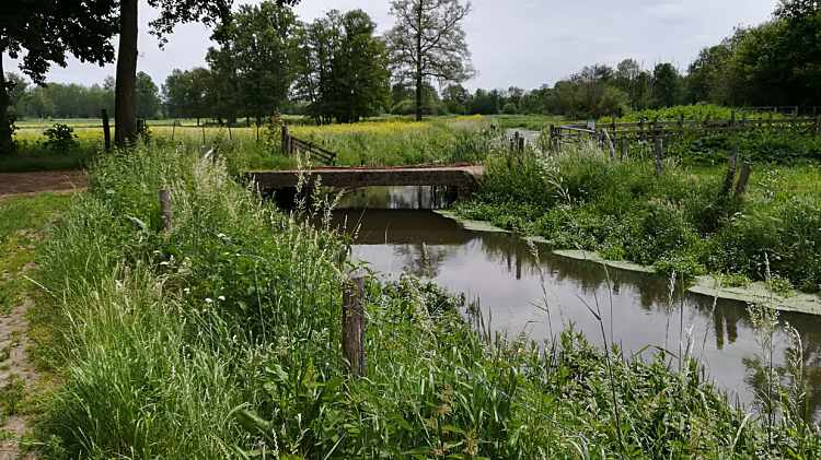
Rainwater is a valuable source of groundwater replenishment. Therefore, it is important to retain, buffer and store as much as possible the rainwater in the soil. AGT offers infiltration studies that determine the infiltration capacity of the soil at a project site. Based on these results, the dimensions of an infiltration or a buffer facility can be estimated with analytical formulas or groundwater modelling.
In case of drainage problems such as problematic dewatering on a project site, AGT can work out a solution for both the collection of the runoff waters and infiltration of the collected water.
Keeping the freshwater-saltwater in balance
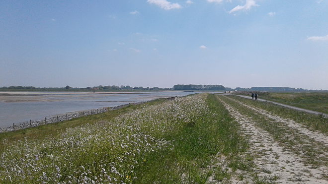
Abstracting or injecting groundwater may have an influence on the distribution of fresh and salted groundwater bodies. Especially along the coast or in the vicinity of saltwater courses, often a vulnerable freshwater lens sits on a saline groundwater body. Both plants (crops) and animals are highly dependent on this fresh water lens. Salinization of the groundwater can lead to damage or even death of the plants and animals in the area. Government therefore demand more and more to limit and monitor the impact of groundwater abstraction in these sensitive fresh-saltwater zones.
Field measurements
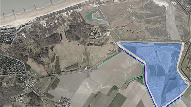
AGT regularly carries out measurements to monitor the balance between fresh and salt groundwater bodies. In addition to the classical water sampling from monitoring wells, geophysical techniques are also used to map the 3D distribution of the salt content in the groundwater. If necessary, the spread of the salt content can also be calculated with a numerical model.
Control measures against salinization
Salinization of fresh groundwater is a serious problem in the coastal areas. Once a groundwater body is salinized, it can take years to restore it. Consequently, prevention is essential with the right control measures! The most effective measure is often the installation of a hydraulic barrier such as abstraction wells or drainages (so called saltwater capture system).
The saline groundwater is actively pumped or passively drained therefore the saltwater flow is interrupted. A saltwater capture system is only effective if it is adjusted to the local groundwater system and can be controlled and adjusted during operation. The control also ensures that no unnecessary volume of water is extracted.
Contact our experts
Don't hasitate to contact us if you have a question or a problem in the field of water management, climate adaptation and ecology. With our extensive knowledge and experience we can help you for sure!

Groundwater vulnerability
The vulnerability of groundwater depends on the nature of the aquifer, the cover layer and the unsaturated zone as well as the possible pollutants and their hydrogeochemical characteristics. A risk assessment of the vulnerability of groundwater must therefore be carried out using numerical groundwater modelling. AGT has the necessary expertise to perform a detailed vulnerability analysis and an efficient groundwater monitoring strategy can be worked out. Hereby the effects on the groundwater quality of abstractions can be better estimated.
Ecohydrological studies
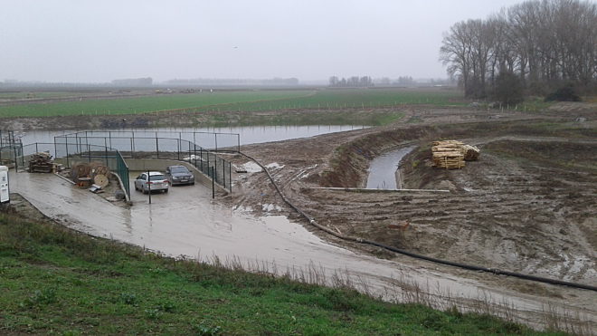
Interventions in water management can radically change the groundwater-dependent vegetation. The management conditions with certain interventions in surface water systems influence the preservation and restoration of these vegetation types. AGT has the expertise to prepare a numerical groundwater model that can be used to determine the influence of the groundwater system on the vegetation.
(Hydro)geological mapping
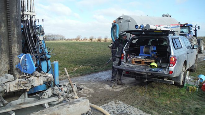
Good knowledge of the subsurface is crucial to determine the effects of agricultural and environmental management on the groundwater system. Depending on the scale (local or regional) on which the mapping should be carried out (additional) drilling or near-surface geophysics are often necessary. Consequently geophysical methods can be used for mapping of the aquifers for water abstraction and for localization of fractures and cavities (karst).

 Knokke-Heist

