Extension of the Zwin
Control measures for saline water.
Agentschap Mariene Dienstverlening en Kust - Provincie Zeeland
28 February 2019
A Flemish-Dutch collaboration
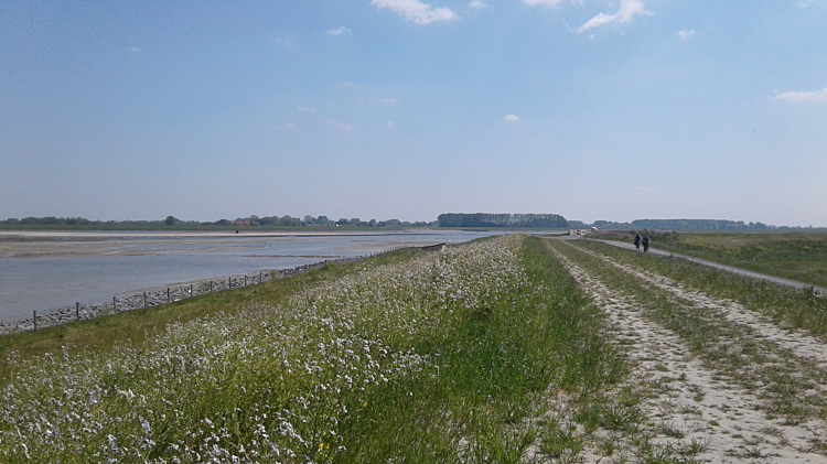
The Flemish and the Dutch governments decided to enlarge the Zwin lagoon area by 120 hectares. By the extension a new natural area would be created and the flood risk of the hinterland would be reduced. The extension is also accompanied by a widening and deepening of the Zwin gully in order to prevent accumulation of deposits in the Zwin.
Adjustment of the polder landscape
In order to expand the flood area, the existing dyke had to be demolished and a new dyke complex had to be built in the Willem-Leopold polder. This was accompanied by the construction of new viewpoints and walking and cycling paths. In addition, a new breeding island has been built in the flood plain.
The salt danger
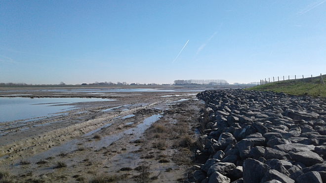
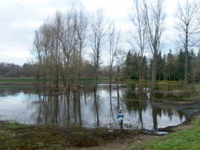
Since the flooding level is higher than the average groundwater level in the surrounding of the polders, an increased salt groundwater intrusion was expected from the new flood area in the direction of the surrounding agricultural plots. Therefore, a management plan was prepared in order to prevent the salinization of the shallow groundwater body and protect the fertility of the neighbouring agricultural area.
Monitoring
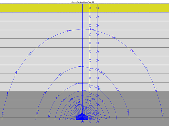
Geophysical measurements were carried out before and during the works. In addition, both the groundwater level and the water level in the canals were monitored at several observation points. This monitoring network remains active even after completion in order to monitor the hydrogeological changes in detail.
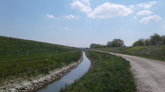
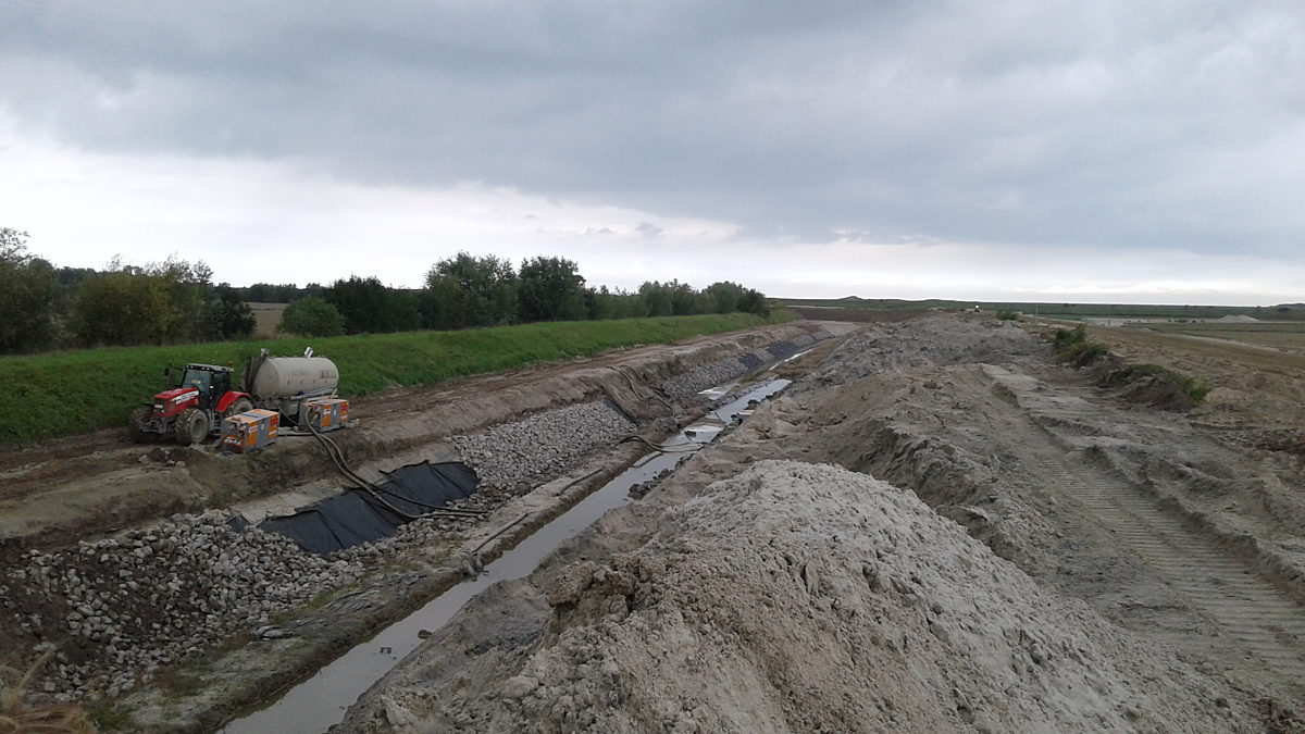
Protection of the polder
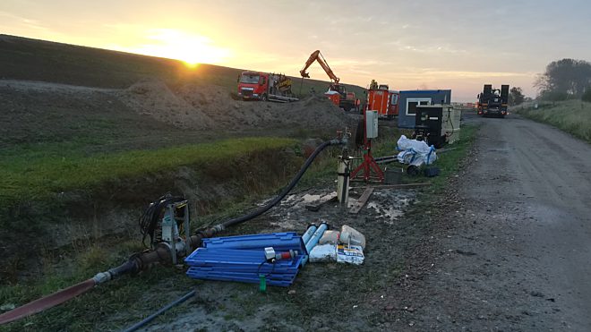
The management plan includes the construction of a draining canal to capture the salt water intrusion, a freshwater infiltration canal, and possibly saltwater capture wells. AGT assessed the effect of these measures with field measurements and hydrogeological modelling. The field measurements included additional CPT measurements, pumping tests as well as drainage and infiltration tests along the canals. These measurements allowed to estimate the critical parameters of the substrate.
More projects
 Brussel
Habitat recovery of the Kleine Nete
As a mandate from the Flemish Environmental Agency (VMM) in the frame of the LIFE+ project "Large-scale Habitat Restoration in the Kleine Netevallei", an ecohydrological study was made by AGT in the "Kleine Netevallei" area. The main aim of the study was to investigate which interventions in the water management contribute in maintenance and restoration of the groundwater-dependent terrestrial vegetation types. For this purpose, groundwater modelling and ecohydrological NICHE modelling were carried out.
Noorderwijk
Water well for the organic farm ‘De Kijfelaar’
Organic farm De Kijfelaar, located in Noorderwijk, wanted to obtain a permit for water extraction. The City of Herentals asked AGT to determine the influence of the water abstraction on the groundwater levels in the area.